


- Replies 49
- Views 3.6k
- Created
- Last Reply
Top Posters In This Topic
-
ckf 24 posts
-
Shifty 3 posts
-
Momorider 2 posts
-
Jimmy Snacks 2 posts


Most Popular Posts
-
-
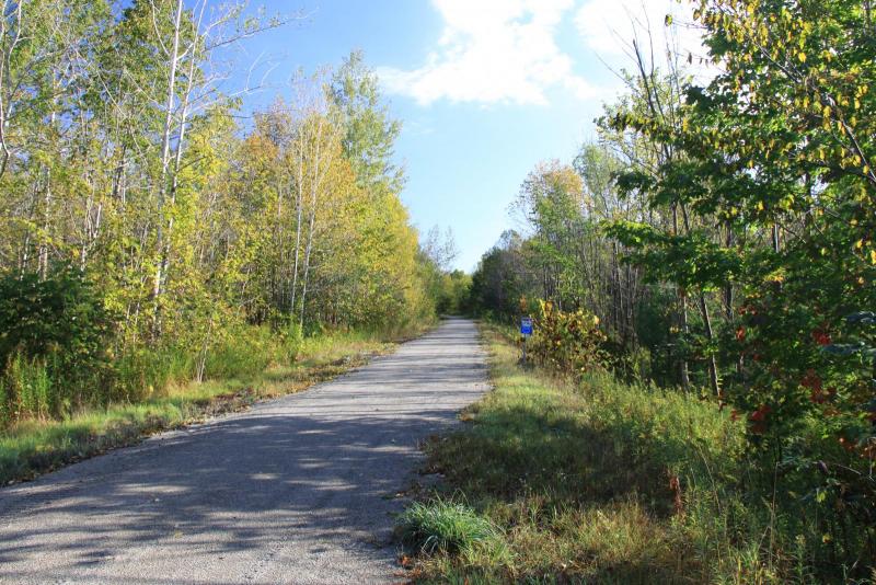
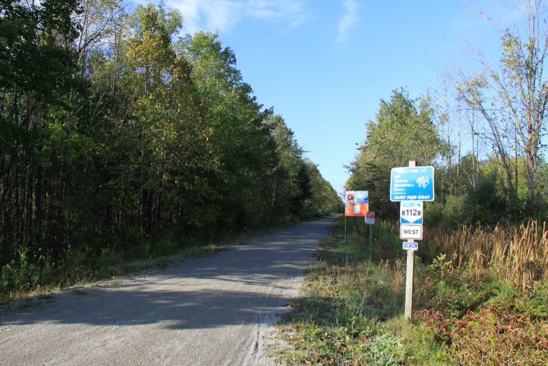
Leaves are a little slow to change here. My favourite time of the year to ride woods.
-
Jobs Pond in Westmore, VT
Posted Images
Featured Replies
Recently Browsing 0
- No registered users viewing this page.

Today Rob and I both got our drones in the air to video the fall foliage here in northern Vermont. Peak color is still another week or so away, but the colors are starting to pop.
Rob's Video
My video